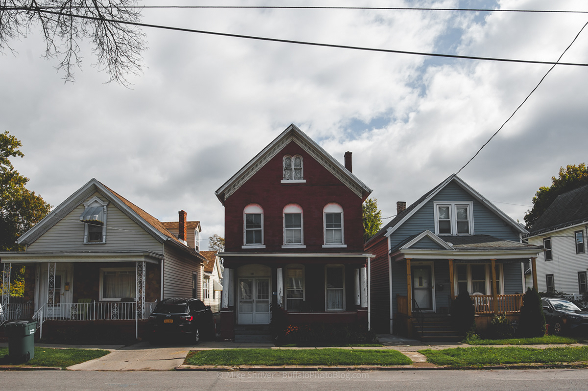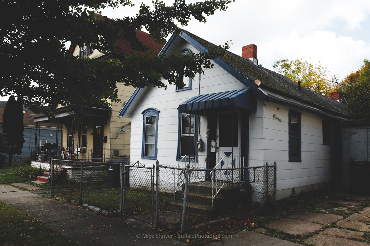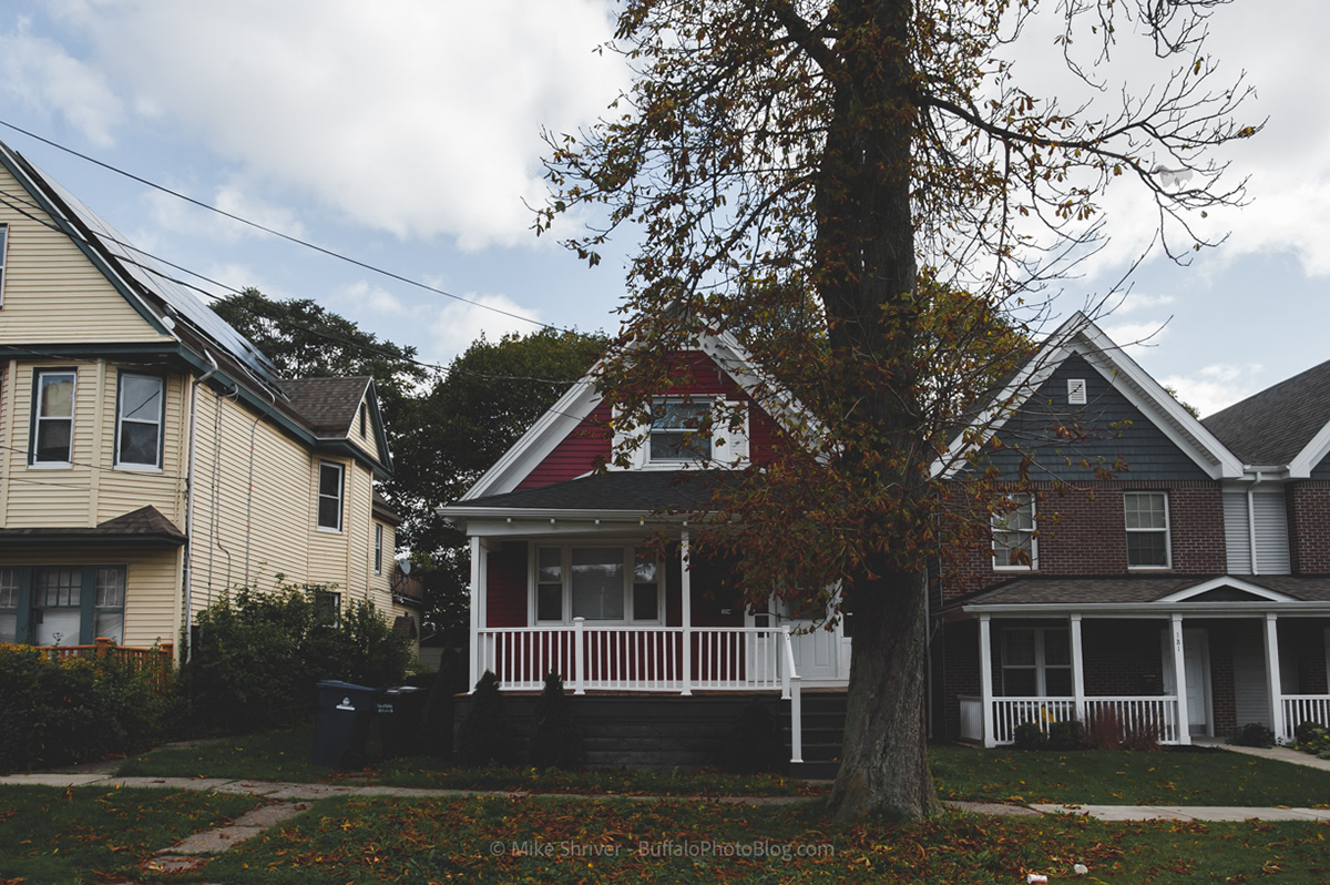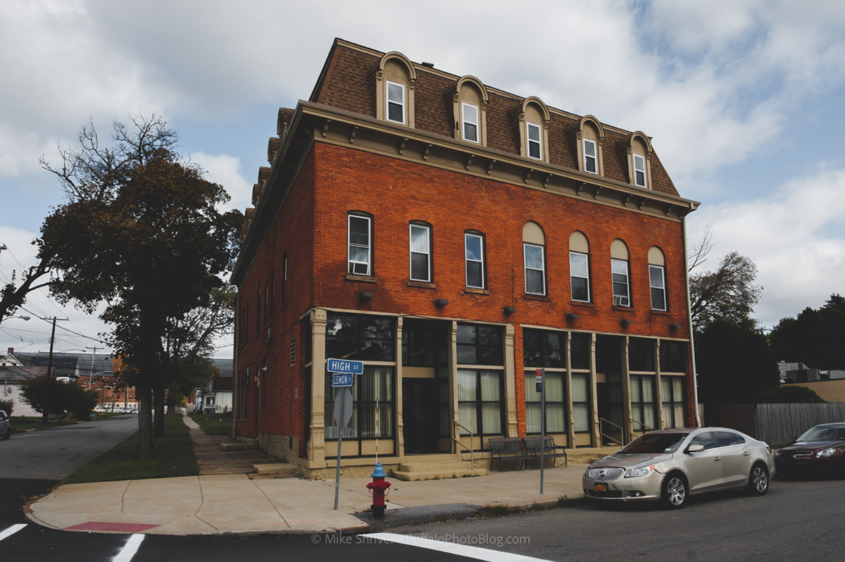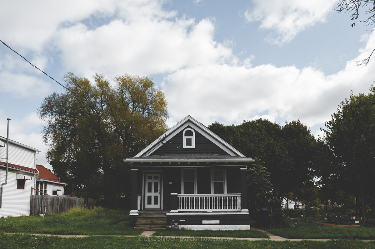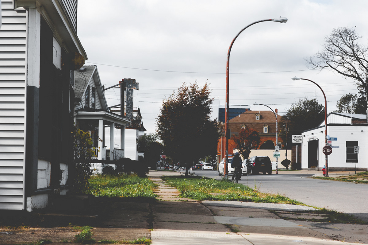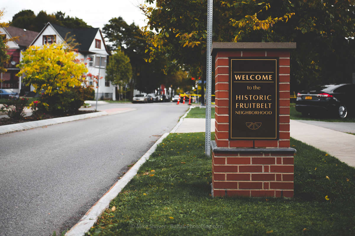
The Fruit Belt
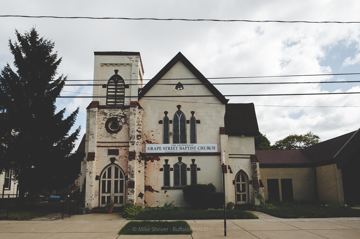
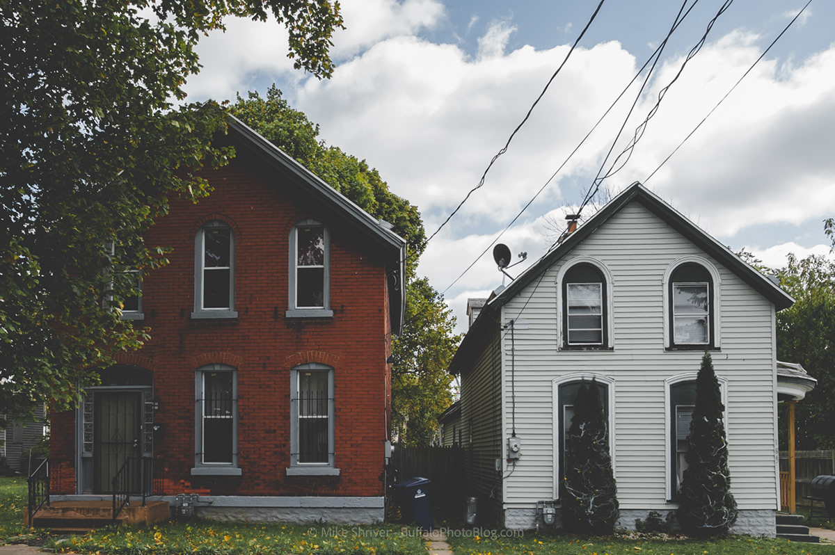
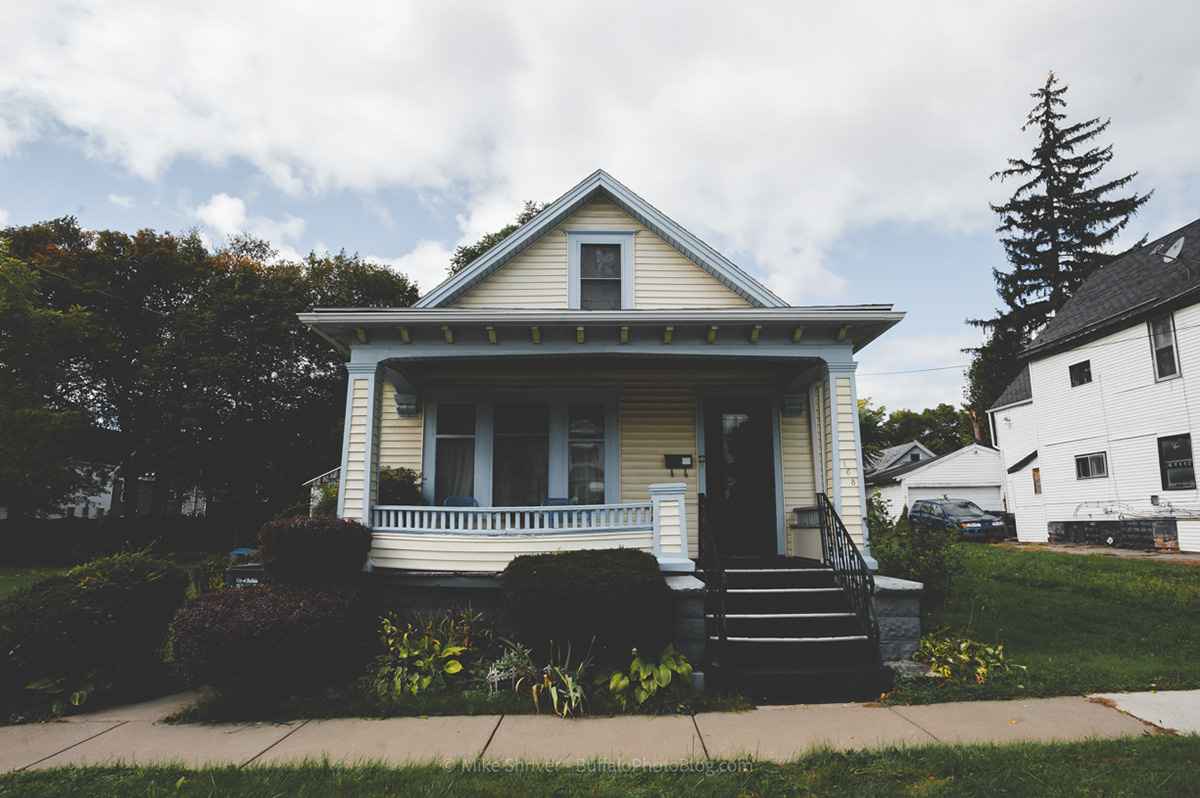
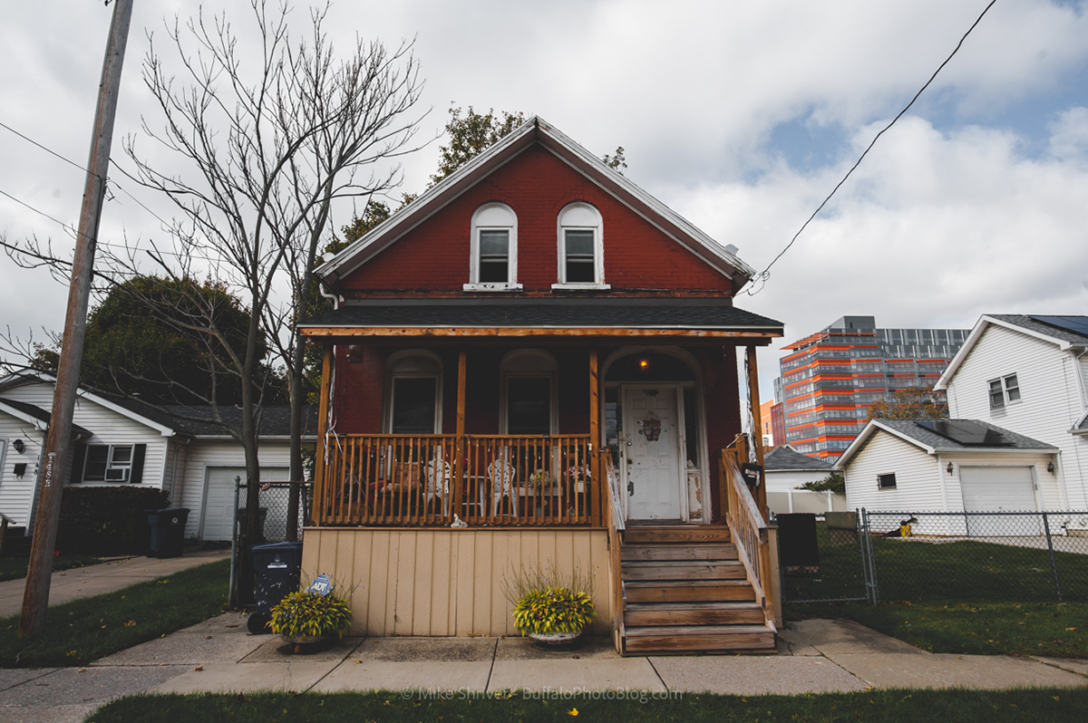
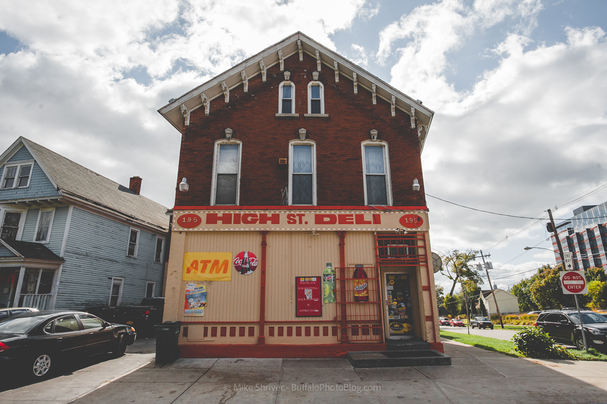
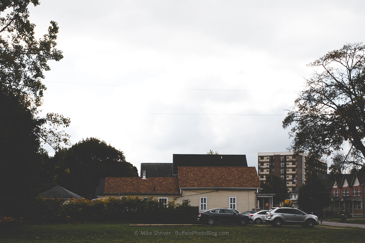
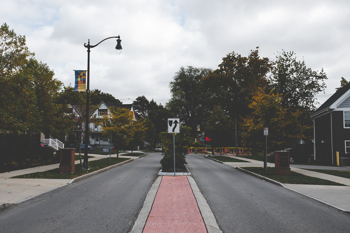
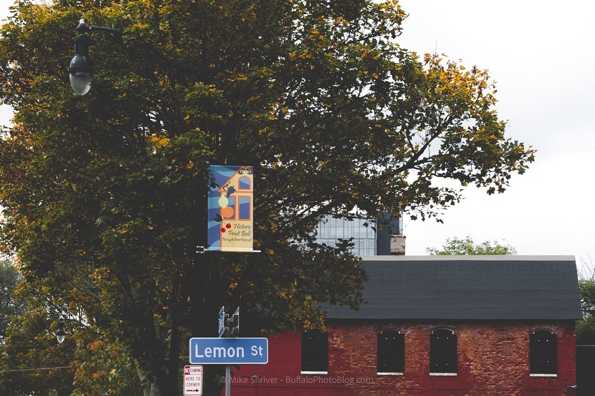
The east side neighborhood that many have heard of, but few have likely visited. Adjacent to the medical campus, the Fruit Belt District is centered around High Street but gets its name from Grape, Peach, Orange, Lemon and Cherry Streets. Some of the first German settlers in Buffalo took up residency here during the 1830s and 1840s, bringing with them their tradition of planting orchards and farming. The German population quickly grew and the orchards were laid out on the present streets, the names themselves remaining as the lasting memory of the once flourishing neighborhood.
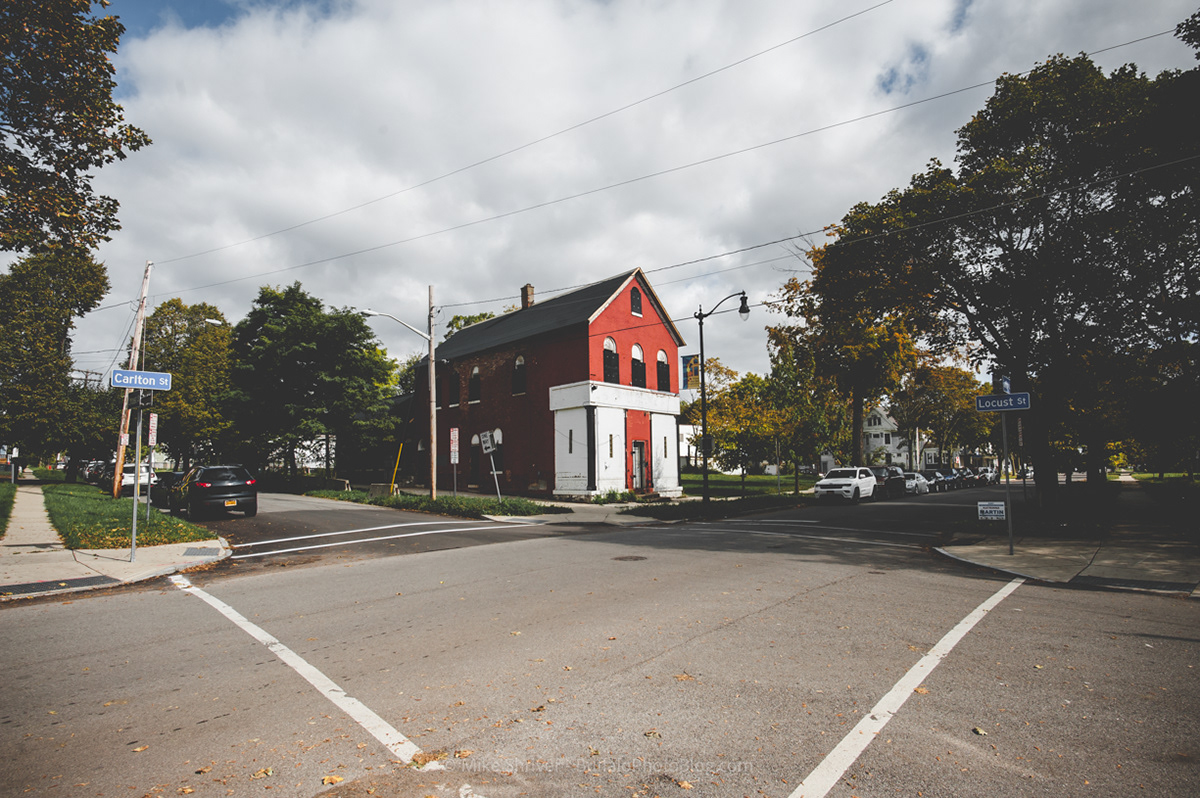
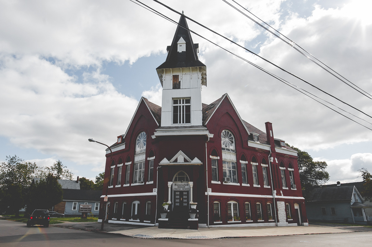
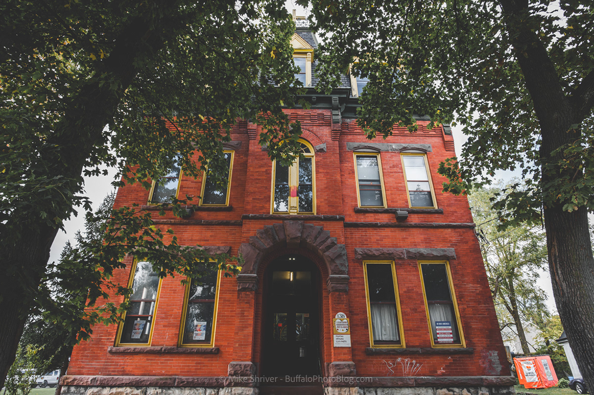
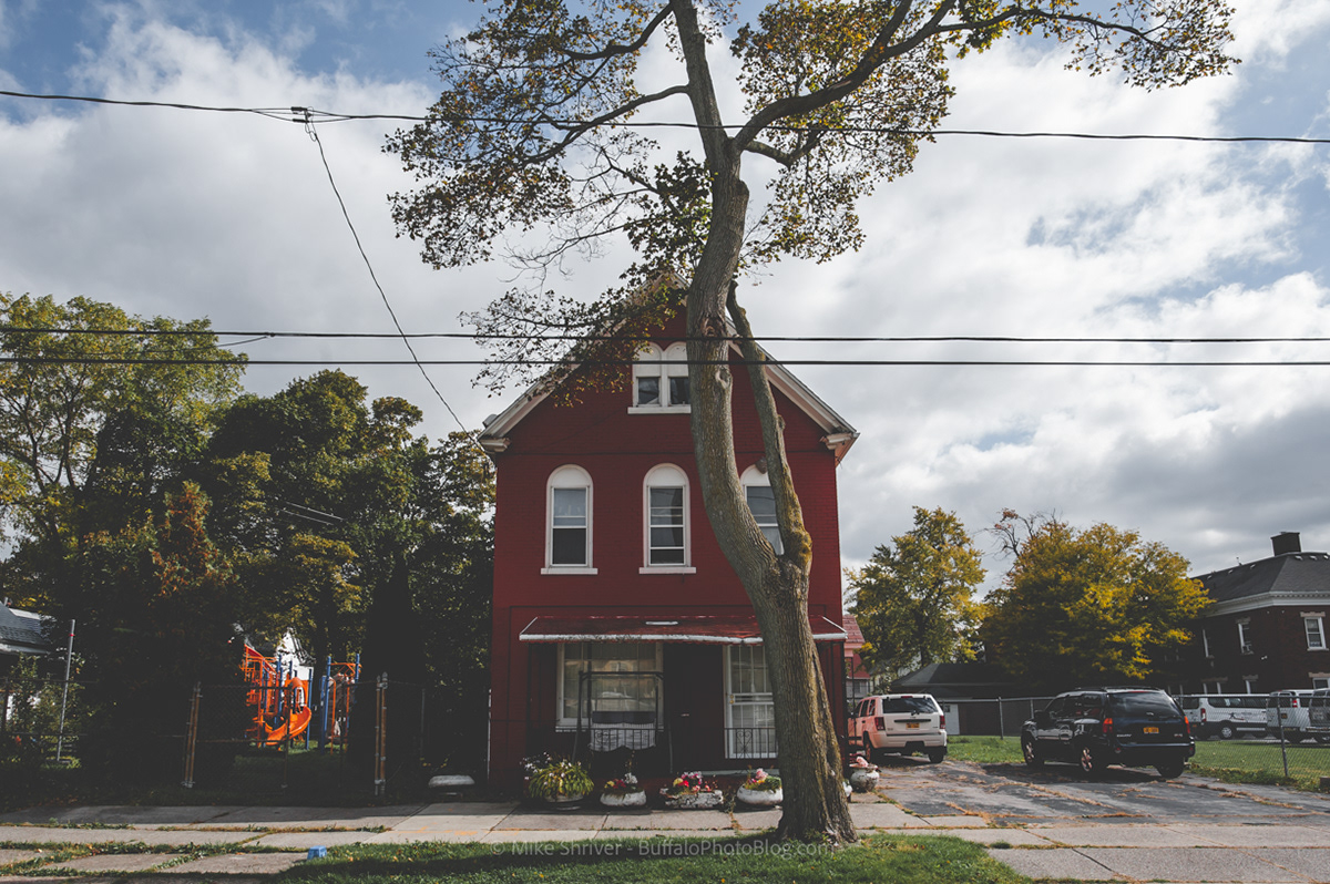
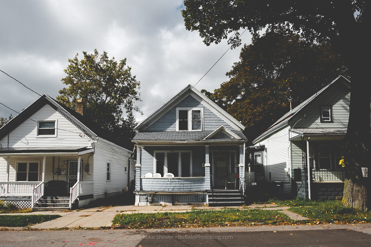
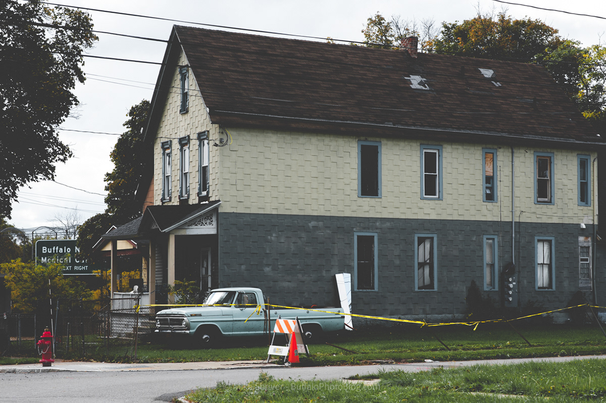
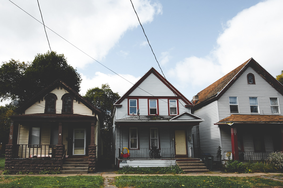
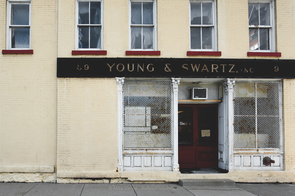
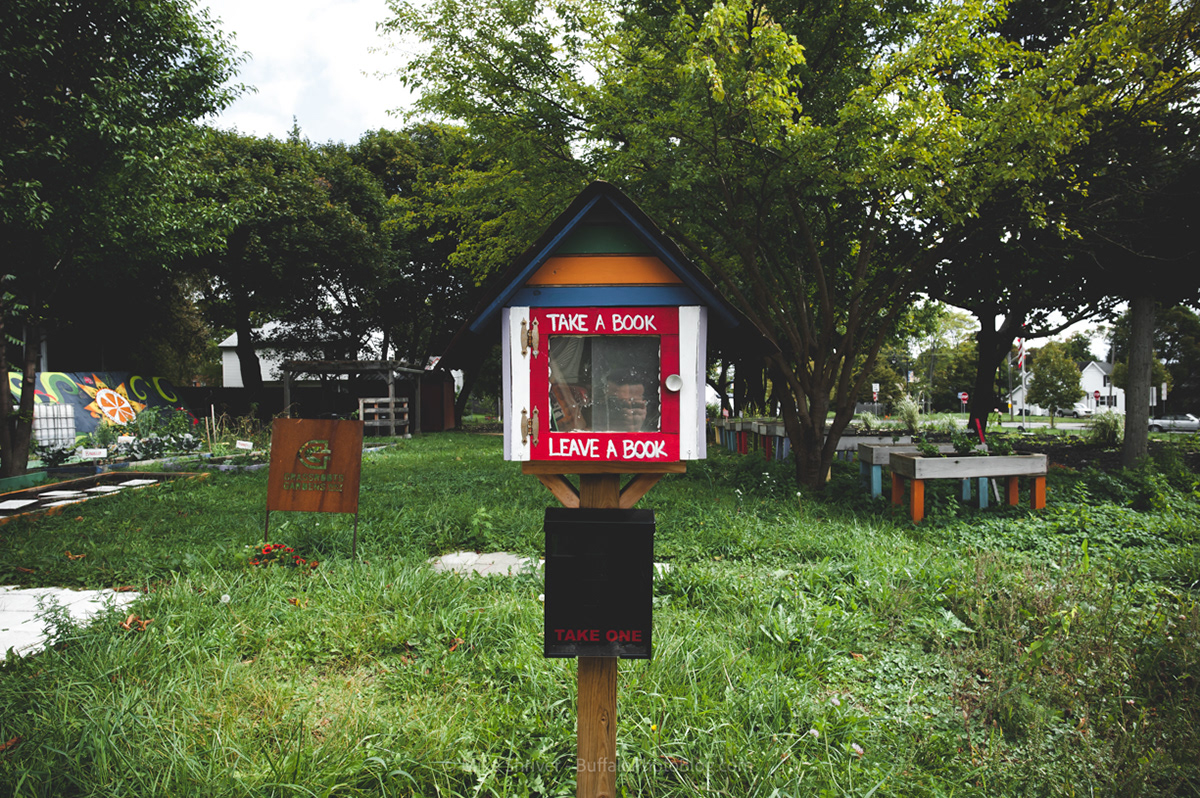
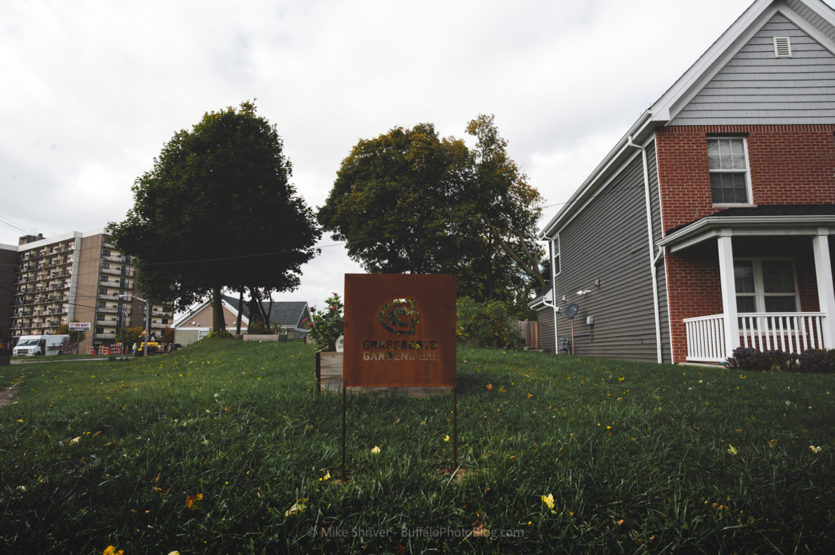
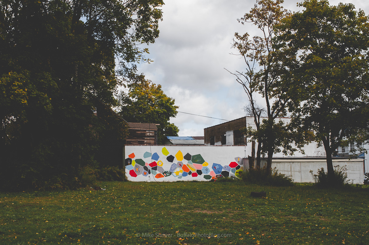
In the 1950s, this beautiful neighborhood was severed by the newly built Kensington Expressway, removing Cherry Street from the district and quickly leading to disinvestment by the City of Buffalo. The area sadly declined for many decades, becoming another casualty of poor urban planning by the city. However recently, with the growth of the Medical Park nearby, the Fruit Belt has gained some momentum. There is a proposal in front of the Zoning Board for a 130 apartment complex slated for Maple Street. 238 Carlton Street (shown below) narrowly avoids demolition, instead turning into the new home for African Heritage Food Co-op after recently receiving Buffalo Landmark status. Locust Street Art remains a staple in the neighborhood, especially for the nearby youth. So much damage has already been done, but the Fruit Belt has figured out a way each time to survive. As the area rebounds, I hope Buffalo finally does right by the district by curbing gentrification and keeping the interest of the Fruit Belt and its residents at the front of their minds.